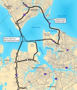
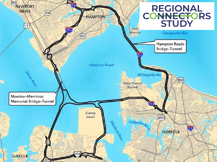
 Hampton Roads is a region of 1.7 million people at the mouth of the Chesapeake Bay. It is recognized as the 33rd largest Metropolitan Statistical Area (MSA) in the United States, eighth largest metro area in the Southeast United States and the second largest between Atlanta and Washington, DC. As the region looks toward long-term economic health, reliable transportation is vital to its security, prosperity and quality of life. In 2016, the Hampton Roads Transportation Planning Organization (HRTPO), commissioned a major study of its key regional connectors serving the region. This study is intended to establish a regional long-term vision that investigates 21st century transportation options that connect the Peninsula and the Southside across the Hampton Roads Harbor to enhance economic vitality and improve the quality of life in the region.
EPR is part of multidisciplinary team on this 3-year study and will be building a regional land use model to conduct one of the largest Scenario Planning projects in Virginia. EPR staff specialties in scenario planning, land use modeling, and performance-based planning will allow it to effectively support this collaborative effort to define, refine and test a future transportation vision for the region. The results of the study will be incorporated into the update of HRTPO’s Long Range Transportation Plan.


